

The Venice Canal Historic District is a residential neighborhood in Los Angeles, California, known for its canals and public waterside paths. From Marina del Rey, you can visit on foot; the district is about a 26-minute walk from Encore Motel near Marina del Rey.
- Setting: Between Venice Boulevard to the north and Washington Boulevard to the south, a few blocks from the Pacific Ocean.
- Canals: Carroll, Linnie, Howland, Sherman, Eastern and Grand.
- Access: Public canal paths are free to walk and require no reservation.
- Visitor basics: Respect residents’ privacy, keep the paths clean and do not feed wildlife.
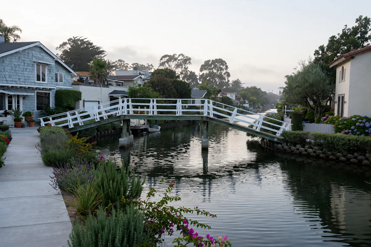
What makes the Venice Canal Historic District distinctive
The district combines a residential setting with a canal network built as part of an early-1900s development project. The Venice Canals were constructed in the early 1900s as part of Abbot Kinney’s Venice in America project. The California State Register of Historic Resources records the district’s registration date as August 30, 1982.
The six canals—Carroll, Linnie, Howland, Sherman, Eastern and Grand—run through a neighborhood where visitors can walk beside the water. The paths offer views of canal-side homes and bridges, but they remain part of a residential area rather than a separate attraction with ticketed entry.
How do you walk the canal paths?
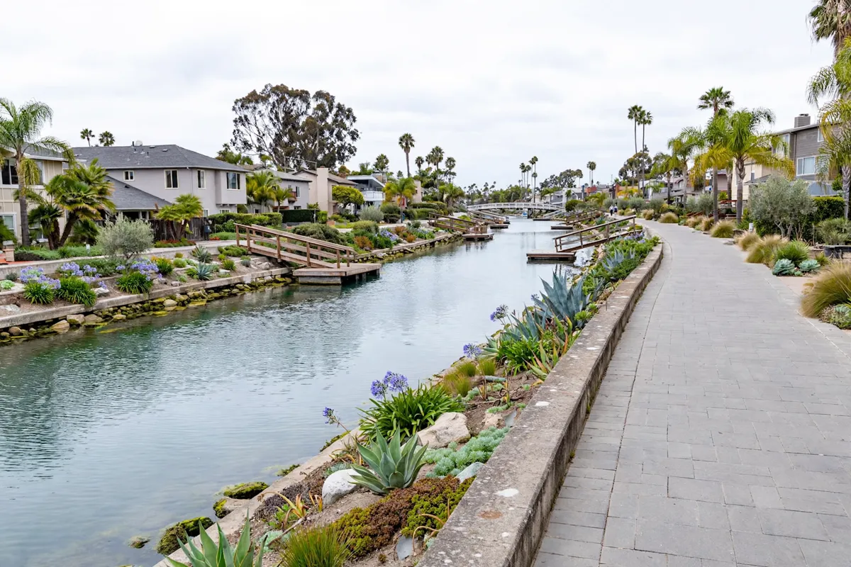
Use a public entrance, follow the canal-side walkways and keep the visit considerate of the people who live there. Entrances are available from Pacific Avenue and Strongs Drive on the west side, and from Venice Boulevard and Washington Boulevard on the north and south sides.
You can walk along the canals and take photos on bridges and walkways. The Venice Canals Association asks visitors to respect residents’ privacy. If you bring a dog, clean up after it; put rubbish in the bins provided along the canals, and do not feed the wildlife. Feeding wildlife is against the law, according to the association.
The canals are a few blocks from the Pacific Ocean, so the setting sits between the neighborhood’s waterways and the coast. The Marina del Rey Tourism Board includes a self-guided route called “Venice Canals Walkways” on its walking map, while the Venice Fishing Pier offers another coastal stop.
How do you get from Marina del Rey to the canals?
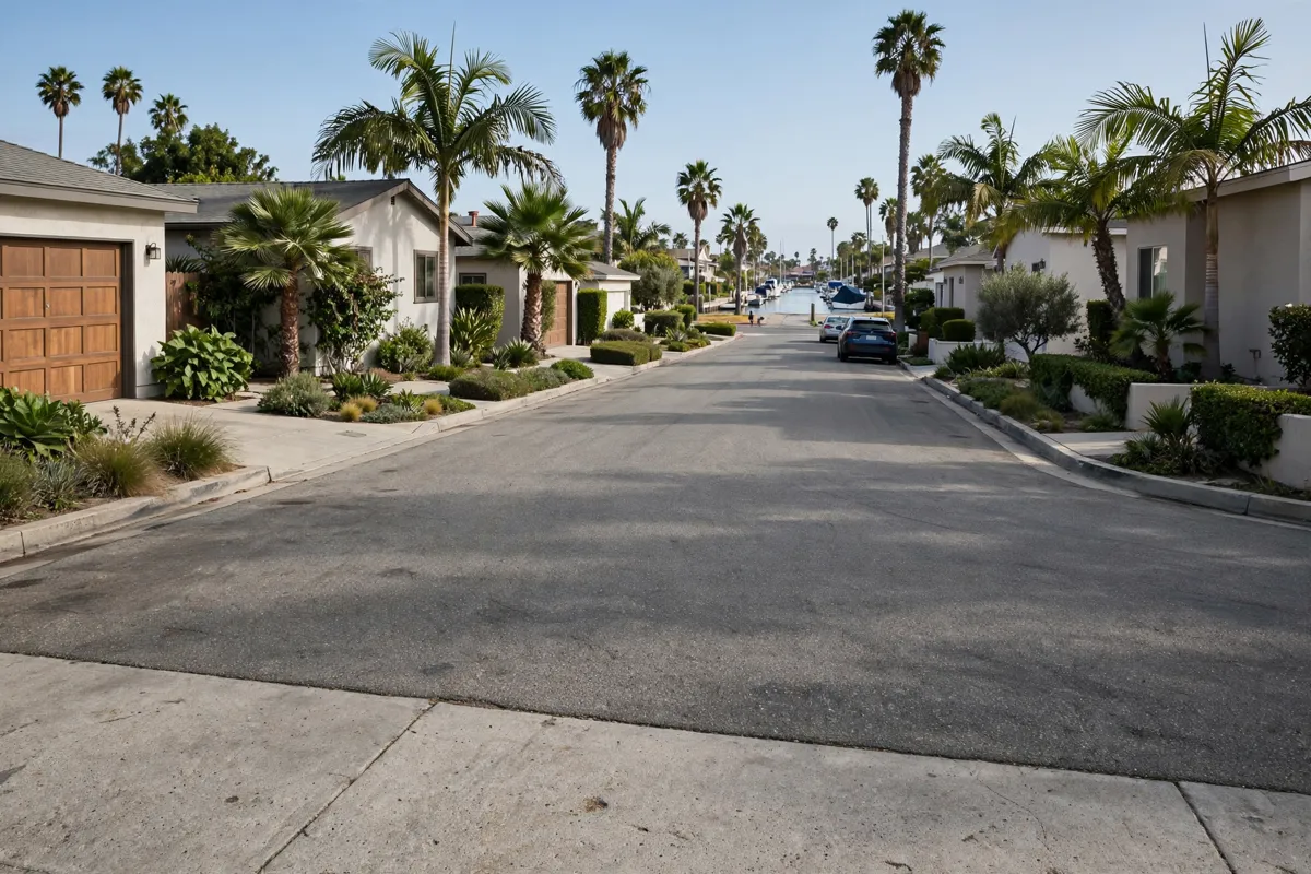
The Marina del Rey Tourism Board places the Venice Canals and Boardwalk 0.9 miles from Marina del Rey on its bike-exploration guide. Big Blue Bus Line 18 runs between Marina del Rey and UCLA Gateway Plaza through Venice and Santa Monica; the Marina del Rey neighborhood guide covers the waterfront and local routes.
There is no visitor parking within the canals. The association suggests looking for street parking around the district or using public parking lots. If you plan to bring a small human-propelled boat, the association identifies a public launch ramp at 501 North Venice Boulevard; boats must not be launched from public sidewalks. Motorized boats are not allowed.
Check the Venice Canals Association’s official site before you go for current visitor guidance.
FAQs
Do you need a ticket to walk the Venice canals?
No. The public canal paths can be walked without a ticket or reservation.
Can you take photos on the bridges?
Yes. Visitors may take photos on canal bridges and walkways, while respecting residents’ privacy.
Can you launch a boat in the canals?
Human-propelled boats such as rowboats, canoes and kayaks are allowed; motorized boats are not. Use the public ramp at 501 North Venice Boulevard, not a public sidewalk.
Is parking available inside the canals?
Visitor parking is not available within the canals. Look for street parking around the district or use public parking lots.